Imagine holding a stone tablet that whispers secrets from thousands of years ago. In Brittany, France, archaeologists found the Saint-Belec slab. It’s a 4,000-year-old map that changes what we thought we knew about ancient navigation.
This map is not just a rock. It’s a peek into how our ancestors saw and mapped their world. It shows they were more advanced in understanding terrain than we thought.
Secrets in ancient maps are more than just places on a map. They are puzzles that reveal historical mysteries. The Saint-Belec slab is 80% accurate, showing our ancestors were smarter than we thought.
These artifacts challenge our views of ancient civilizations. They show mapmaking was an art, connected to understanding the environment and journeys. It was about their place in the world.
Key Takeaways
- Ancient maps contain complex geographical information beyond simple navigation
- Prehistoric civilizations possessed advanced cartographic skills
- Archaeological discoveries continuously challenge our understanding of human history
- Maps are more than geographical tools – they are cultural and historical artifacts
- Modern technology helps us decode ancient cartographic mysteries
The Vinland Map’s Controversial Origins
The Vinland Map is a mystery from Yale University’s Beinecke Rare Book and Manuscript Library. It was found in 1957. It shows Norse exploration of North America before Christopher Columbus.
This map’s ink lines tell a story of early European contact with America. It claims to show Vinland, explored by Leif Erikson around 1000 CE. This challenges what we thought we knew about ancient exploration.
But, scientists soon found out it was fake. The ink had anatase, a titanium dioxide made in the 1920s. This showed the map was made recently, not in the 15th century.
More tests showed titanium particles from 1923 Norway. Field emission scanning electron microscopy found modern ink. This proved the map was not old.
By 2018, Yale experts said the Vinland Map was a 20th-century fake. Despite hopes for ancient knowledge, it was a clever trick. It fooled scholars and fans for years.
Piri Reis Map’s Unexplained Accuracy
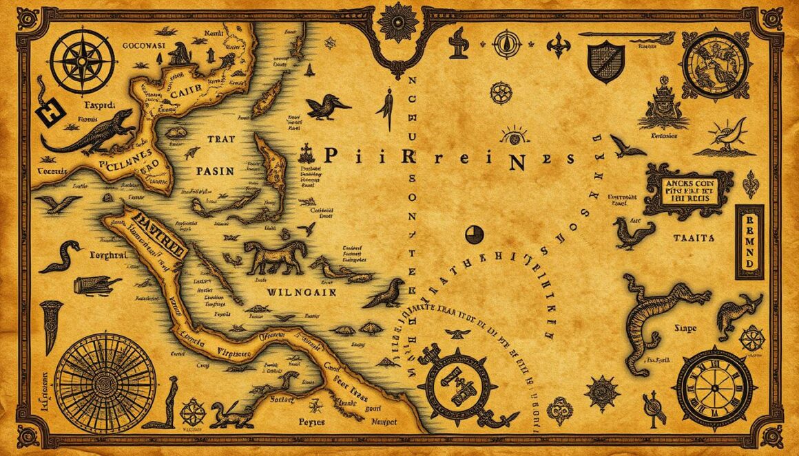
The Piri Reis map is a marvel from the world of ancient maps. It was made in 1513 by Ottoman admiral Piri Reis. This map is a mystery to us today, showing how advanced ancient cartography was.
The map is mostly intact, kept in the Topkapı Palace in Istanbul. It’s a piece of history, showing the skill of ancient mapmakers. The Piri Reis map is special because it uses advanced techniques for its time.
It has compass roses and windrose networks, showing deep knowledge of the sea. The map is famous for its accurate drawings of South America and hints of Antarctica. This is something that puzzles researchers today.
Piri Reis used maps from 20 different places to make his chart. These included maps from Alexander the Great’s time and even from ancient China. This shows he had access to a lot of information, more than we thought possible back then.
The map was found again in 1929, and it’s caused a lot of debate. Its detailed and accurate nature challenges what we thought we knew about history. While some theories are too outlandish, the map is a mystery that keeps us curious.
The Phantom Island of Hy-Brasil
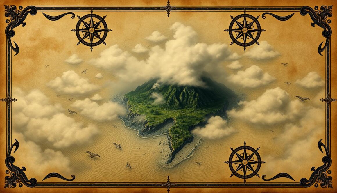
Hy-Brasil is a mystery that has fascinated people for centuries. It first showed up on maps in 1325 by Angelino Dulcert, a cartographer from Majorca. This island became a legend that puzzled explorers and mapmakers.
Venetian charts from 1436 called it “Insula de Brasil”. They showed it as a circle with a central strait. Cartographers like Thomas Jefferys and Guillaume de L’Isle kept it on their maps, keeping its mystery alive.
Irish stories say Hy-Brasil is a magical place. It’s only seen once every seven years from Ireland’s west coast. In 1480 and 1481, Bristol sent expeditions to find it, hoping to find a paradise hidden in mist. Captain John Nisbet said he saw it, making it seem even more real.
Cartography shows how myths and maps can mix. Hy-Brasil stayed on maps until 1873. Now, some think it might be connected to Porcupine Bank, a underwater area 200 kilometers off Ireland. This could explain why it was so hard to find.
Secrets of the Mappa Mundi
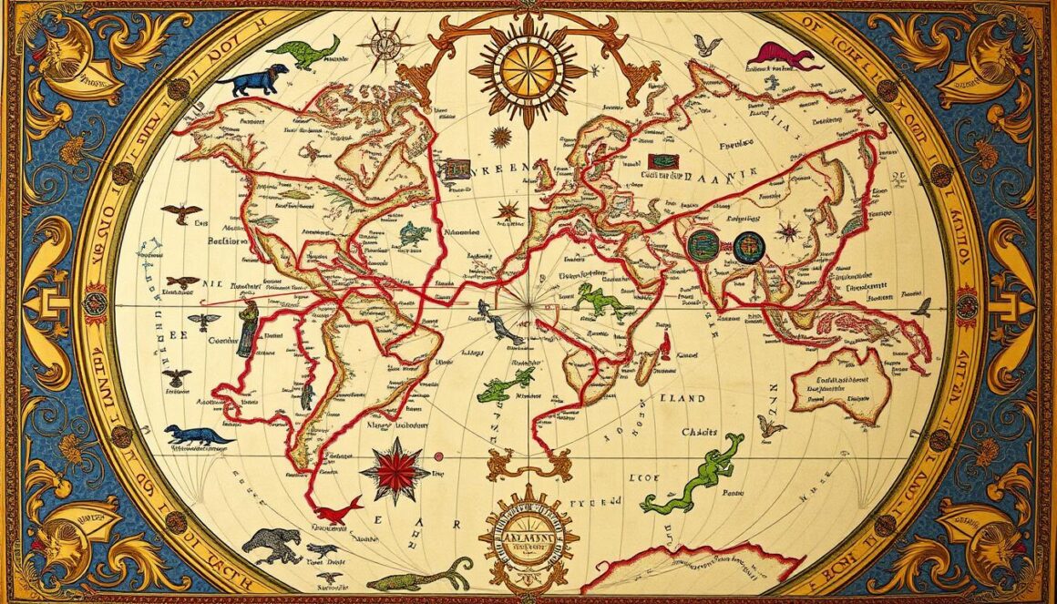
Imagine a map that shows more than just where places are. The Hereford Mappa Mundi, made around 1300 CE, is a stunning peek into how people saw the world back then. It’s the biggest medieval map we know, standing 5 feet tall.
This map is more than just a guide. It was made by skilled artists and scholars. At its heart is Jerusalem, showing the deep religious beliefs of the time. The map divides the world into Europe, Asia, and Africa, each filled with special meanings.
The map’s illustrations are full of life and stories. Over 500 pictures show important events, biblical tales, and mythical creatures. These drawings come from medieval bestiaries, showing how knowledge was shared through hand-written texts. The map’s design, with East at the top, adds a spiritual layer, making it more than just a map.
This map also shows how different our views of the world are today. Africa and Europe are labeled the wrong way, and animal facts mix Christian teachings with creative stories. Each picture teaches a moral or religious lesson, making the Mappa Mundi a key piece of medieval culture and thought.
The Ebstorf Map’s Religious Symbolism
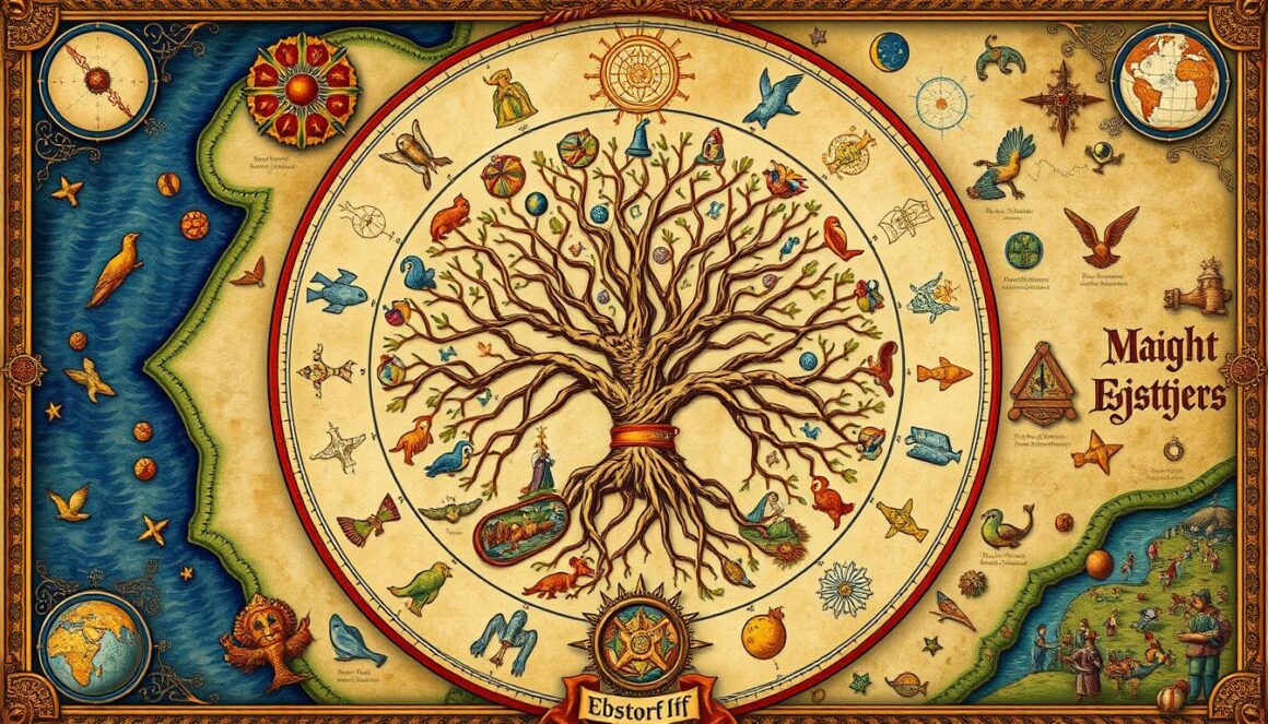
Imagine a map that turns exploring the world into a spiritual quest. The Ebstorf Map, a medieval masterpiece, shows how faith and knowledge are linked. Made around 1300, it was huge, almost 12 feet long, and made from 30 goatskins.
Secrets in ancient maps often tell more than just where places are. The Ebstorf Map shows the world as part of Christ, with his head, hands, and feet marking directions. This map turned looking at the world into a deep religious experience, mixing geography with Christian beliefs.
The map’s story is complex. It has scenes from the Bible on its edges, showing stories from both the Old and New Testaments. Europe is at the center, with Africa and Asia shown in detail. Places like the Garden of Eden and real places are together, making a stunning picture of the medieval view of the world.
The map was lost in World War II, but copies saved its amazing details. Scholars keep studying it, finding spiritual and geographical insights that change how we see medieval knowledge.
Every part of the Ebstorf Map tells stories of faith, exploration, and creativity. It shows how our ancestors saw and showed their world.
The Enigma of the Tabula Rogeriana
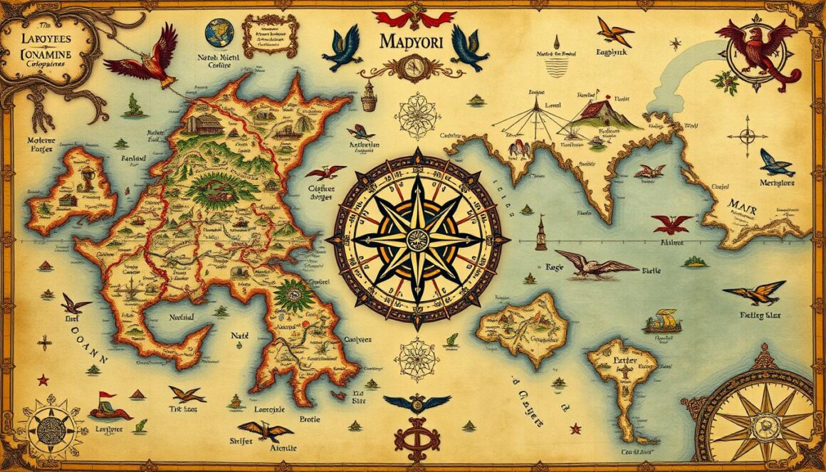
Imagine a world map so advanced it could challenge your understanding of medieval geographical knowledge. The Tabula Rogeriana, made by Arab geographer Muhammad al-Idrisi in 1154, is a remarkable example of ancient cartography’s sophistication. It was made for King Roger II of Sicily, showing a major leap in mapping techniques.
This map showed the world as a sphere, a concept ahead of its time. It combined information from Islamic traders with knowledge from ancient Greeks and Romans. The map’s details show a deep understanding of places like Africa, the Indian Ocean, and Southeast Asia.
Experts are amazed by the map’s accuracy. It shows that lost civilizations might have known more about navigation and geography than we thought. Each line on the map tells a story of exploration, cultural exchange, and curiosity.
Al-Idrisi’s work is more than a map. It connects different cultures, changing how we see medieval geography. The Tabula Rogeriana reminds us of human creativity and our ongoing quest to understand our world’s geography.
Deciphering the Selden Map of China
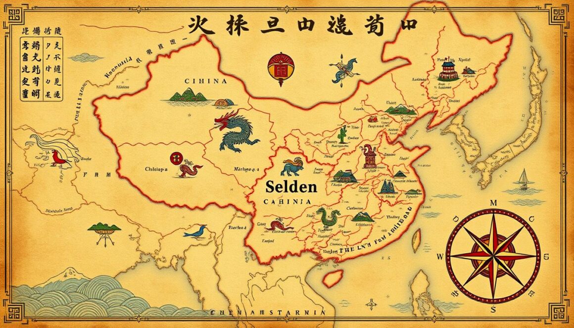
You stand before an extraordinary unexplained artifact that challenges everything we know about ancient exploration. The Selden Map of China, found in Oxford’s Bodleian Library, is a cartographic enigma. It tells a revolutionary maritime story from the early 17th century.
This map is nearly five feet long. It shows trade routes from Quanzhou in southern Fujian to distant East Asian ports. Unlike traditional Chinese maps, it uses a compass rose system. This shows advanced navigation techniques that surprise historians.
Some think the map might have come from Aceh, Sumatra, not China. Its colors, made from gum Arabic and indigo, suggest cross-cultural interactions. The map lists 18 trade routes from Siberia to the Spice Islands, changing what we thought about the Ming Dynasty’s maritime activities.
The map’s history is a mystery. John Selden bought it in the mid-17th century. It combines Chinese landscape techniques with Western navigation. Its details reveal a world more connected than we thought.
Every line and stroke on this ancient map tells of merchant voyages and cultural exchanges. It shows a world where geography and exploration knew no bounds.
7 Secrets Hidden in Ancient Maps That Rewrote History – Conclusion
Ancient maps show more than just places. They hold secrets that change how we see history. These maps are not just lines and symbols. They tell stories of culture and discovery.
Maps like the Vinland Map and Piri Reis Map show how old knowledge was shared. They give us a peek into the minds of their makers. These maps show deep understanding of the world, often better than today’s.
Maps are not just for finding your way. They are deep expressions of culture and thought. They show our endless curiosity and drive to understand our world.
As we learn more, our view of history changes. Each new find makes us see the past in a new light. The study of ancient maps is an ongoing journey. It promises to reveal even more about our history.
FAQ
What makes the Saint-Belec slab significant in archaeological research?
The Saint-Belec slab is the oldest known map in Europe, dating back 4,000 years. It offers deep insights into Bronze Age cartography. The map shows the Odet Valley and Aulne River with 80% accuracy, suggesting an ancient kingdom’s territory of 18 by 13 miles.
Is the Vinland Map authentic?
The Vinland Map’s authenticity is a topic of debate. Found in 1957, it claims to show Norse exploration of North America around 1000 CE. Some believe it’s a forgery, while others think it could prove Norse discovery before Columbus.
How does the Piri Reis Map challenge our understanding of ancient geographical knowledge?
The 1513 Piri Reis Map is incredibly accurate, showing coastlines of South America and Antarctica. Its precision suggests it might have used ancient maps, raising questions about prehistoric exploration and cartography.
What is the story behind the mythical island of Hy-Brasil?
Hy-Brasil was a legendary island on maps from the 14th to 19th centuries. It was said to be off Ireland’s west coast, a misty paradise visible once every seven years. Cartographers like Abraham Ortelius included it, mixing myth with geography.
How does the Mappa Mundi represent medieval worldviews?
The Mappa Mundi, created around 1300 CE, is more than a map. It’s a blend of history, religion, and mythology, with Jerusalem at its center. It includes over 500 drawings of biblical stories and fantastical creatures, giving a glimpse into medieval Christian beliefs.
What made the Tabula Rogeriana unique for its time?
Muhammad al-Idrisi created the Tabula Rogeriana in 1154. It was groundbreaking for showing the world as a sphere. Commissioned by King Roger II of Sicily, it combined Islamic merchant information and classical sources, revealing insights into Africa, the Indian Ocean, and Southeast Asia.
What makes the Selden Map of China special?
Rediscovered in 2008, the Selden Map from around 1620 is a game-changer in East Asian cartography. It uses a unique compass rose navigation system and shows detailed maritime trade routes. This reveals the sophisticated commercial networks of early modern Asia.


